Ontdek de Hoge Berg
op Texel


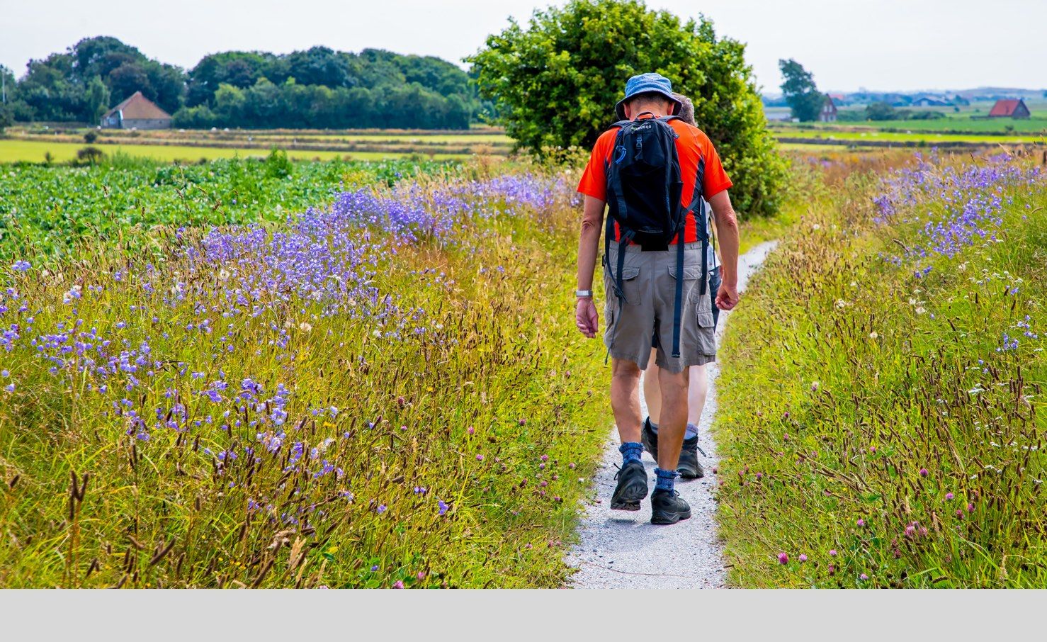
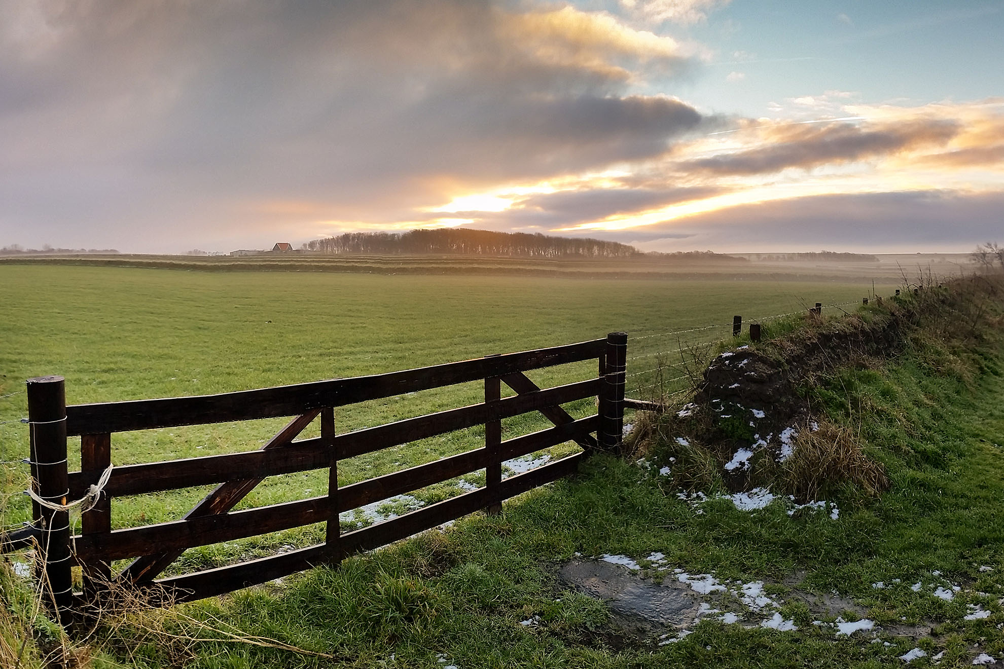
Welkom in het Hoge Berggebied. Het is een uniek deel van Texel, een landschap dat het best te voet of met de fiets te verkennen is. Je ziet er overal getuigenissen van vijf eeuwen Texelse geschiedenis. Het is van oudsher het hart van de Texelse schapenhouderij, en het was ook sterk verbonden met de bedrijvigheid op de Reede van Texel. Voor de kust van Oudeschild lagen de Hollandse handels-, oorlogs- en visserijvloten voor anker. Veel Texelaars hebben tussen 1550 en 1824 een flinke boterham verdiend aan de bevoorrading en de bemanning van die schepen.
Landmeter Leendert den Berger kocht in 1786 de buitenplaats Brakestein aan de voet van de Hoge Berg. Hij was toen opzichter van ’s Lands Werken voor Terschelling, Vlieland, Eierland en Texel, en daarmee verantwoordelijk voor de dijken, vaargeulen, havens en forten in het gebied. Leendert bracht zijn jeugd door op Fort De Schans en is altijd in de buurt blijven wonen. Hij was de eigenaar van de meeste landerijen tussen De Schans, Oudeschild en de Hoge Berg. Daarom is hij een ideale gids voor verkenningen in dit gebied.
Op verschillende punten in het landschap staan borden met informatie. In de geest van de achttiende eeuw noemen we die ‘Landmerken’. De borden belichten een of meerdere bijzonderheden van de plek. Steeds is er een korte alinea die een belevenis van Leendert beschrijft. De kaartjes op de borden nodigen je uit om van landmerk naar landmerk te zwerven. Via de QR-codes op de borden kan meer informatie over het onderwerp worden opgevraagd.
Bij elk bord staat op de paal een silhouetje van een element dat op dat punt zichtbaar is in het uitzicht. Vooral voor kinderen een leuk spelletje. In de tekst op het bord is een hint verstopt voor een gesprek over het element.
Op andere punten in het landschap staan kleine paaltjes. Op de kop is een plaatje gemonteerd met een portretje van Leendert en een QR-code. Die code verwijst naar een pagina op deze internetsite met meer informatie over de plek.
Een van de speciale kenmerken van het Hoge Berggebied is het fijnmazige netwerk van graslandperceeltjes. Op de hogere gronden zijn die perceeltjes omgeven door tuinwallen. En elk perceel heeft van oudsher een eigen naam. Je vindt die naam op een bord op het hek. Een QR-code brengt je naar de betekenis van de veldnaam.
Klik op de pijltjes in de kaart hieronder. Groene pijltjes ontsluiten meerdere veldnamen of landmerken die dicht op elkaar staan. Met een klik zoom je in. Zwarte pijltjes brengen je naar een specifiek perceel en oranje pijltjes naar een landmerk.
Concept: Zilte Zaken / Teksten: Stichting Hoge Berg & Zin in Zee & Museum Kaap Skil / Design & techniek: WEBJONGENS
Steun vandaag nog met een donatie of investering.
Meer informatie over crowdfunding